
Recently I was asked by a publisher to contribute to a hiking guide in Switzerland. One series of pictures had to be from a hike across the Rhinsberg, a trip from Rorbas to Eglisau.

There were two issues however with this request. First of all some these pictures needed to be available within 4 days, and secondly they needed to be geotagged.
Although I had pictures from this hike in stock, I took these on a day when there was a dense fog. The second problem was that these pictures were not geotagged.
Therefore I decided to make the hike again.
To make the trip more exciting, I decided to take my Lumix S5 camera with me to force myself to use the geotagging functionality of this camera and the Lumix app. I tried it once before, but found it very cumbersome, so I never to use it again.
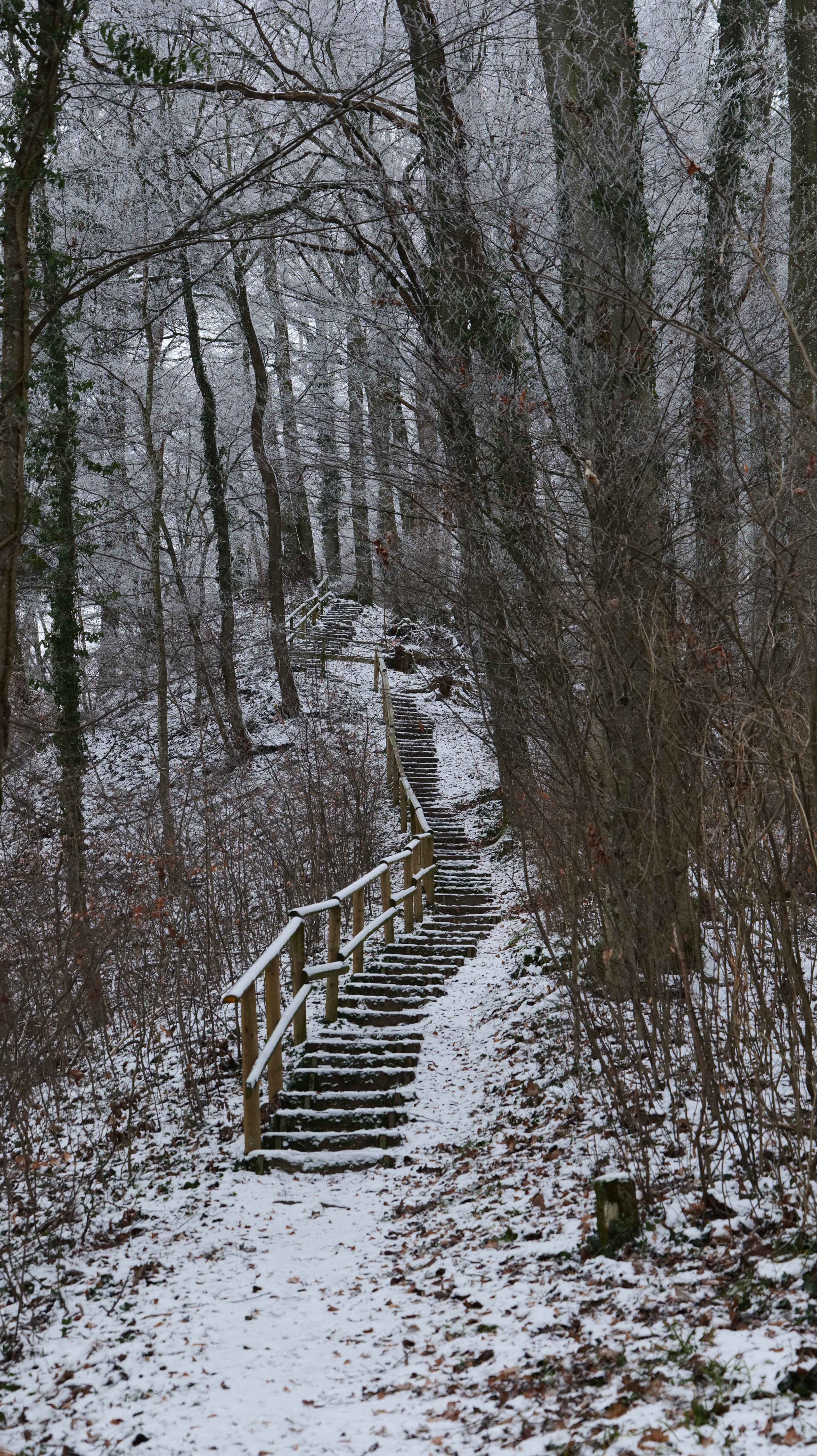
All in all I really liked the hike (again). Fortunately, as you can see below, the fog was not too bad.
Regarding the geotagging functionality of my Lumix S5 … it is ok. I found it to set up, but quite cumbersome to sue, because it seems that the Lumix app needs to be woken up every time the GPS function is required.
In comparison the Nikon Geotagging SnapBridge for my Nikon Z6 IIis a breeze since it will always keep the connection.


Pictures taken with the Panasonic Lumix S5 camera and the Lumix 20-60 mm 3.5-5.6 lens
